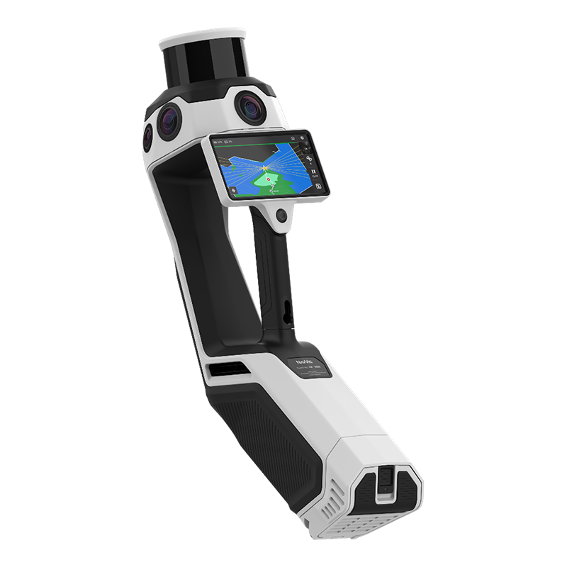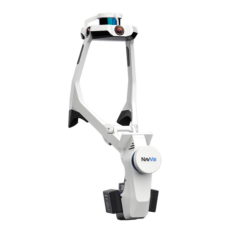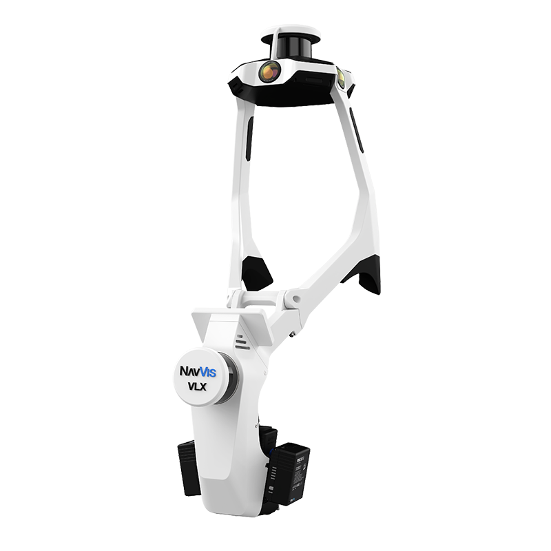
Capture
Use NavVis LX-Series alongside any surveying devices already in your inventory. For accuracy that exceeds industry standards from any wearable or handheld device, NavVis LX-Series is powered by precision SLAM technology that's entirely in a class of its own. Customers use NavVis technology for 90% of their projects.
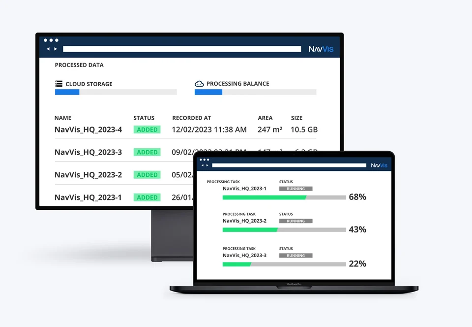
Process
Process, geo-register, and automatically align scan data from NavVis devices with survey-grade accuracy. Generate photorealistic point clouds and panoramic images seamlessly.
Access
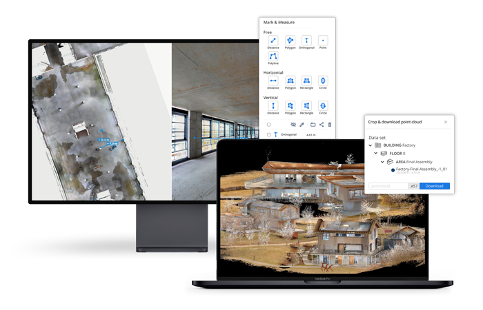
With NavVis IVION, point clouds and panoramic images are transformed into intelligent spaces accessible from any standard web browser. Create virtual sites or digital twins based on your scan data, establishing a single source of truth for connected planning and decision-making.